 Paikkatietohakemisto
Tiff (tfw)
Type of resources
Topics
Keywords
Contact for the resource
Provided by
Formats
Representation types
Update frequencies
-
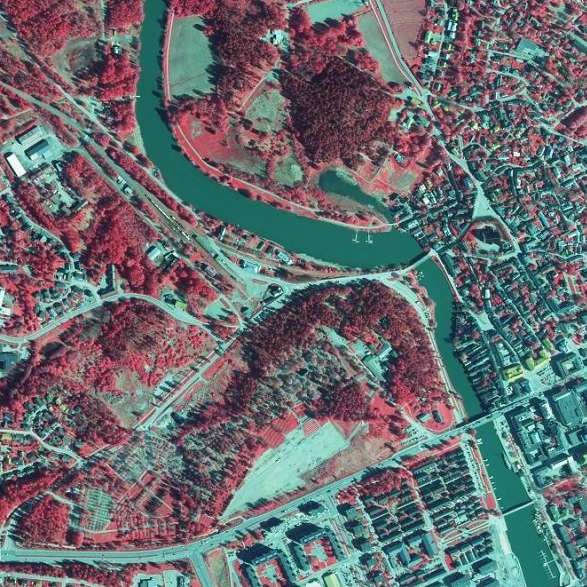
NLS Orthophotos are an aerial photo dataset covering the whole of Finland. An orthophoto is a combination of several individual aerial photos. The geometry of the orthophotos corresponds to a map. The aerial photo data set in orthophoto format is available as - the most recent data set consisting of the most recent aerial photos available. The most recent data is usually 1–3 years old. - old aerial photos, consisting of data sets that are older than the most recent data set. The oldest aerial photos were taken in the 1930s. New data is added to the data set continuously. NLS Orthophotos are updated every 3 years (in Northern Lapland 12 years). Different versions of orthophoto products: - Ortophoto - Ortophoto (false colour) - Ortophoto (forest ortho) - Ortophoto (natural disasters) The product belongs to the open data of the National Land Survey of Finland.